RE: RE: RE: RE: RE: RE: I'm very Happy!Kerogen, welcome back.
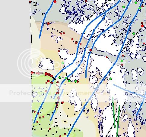
Just for fun, here's a piece of the Manitoba kimberlite indicator mineral anomaly map in the Border vicinity. Red dots are indicator sites. Quite a pile of them wrapped around the escarpment, eh? I wonder why they were looking kimberlite at Border in the first place? Just for more fun, how many geophysic targets that look like coal will be drilled before someone hits a kimberlite, which as we now know, looks like thick coal?
HT