As this weather pattern remains over Texas into and through the weekend, it will expand into Southern California as well as Nevada and Arizona Thursday into Friday.
The first excessive heat event -- level 4 of 4 on the weather services experimental heat danger scale -- of the season is now upon us, the weather service's Phoenix office said.
"The first heatwave of the year has numerous climate sites threatening daily record highs and record warm lows," added the Las Vegas National Weather Service.
Death Valley is forecast to reach 121 on Friday. If it does, that will break the daily record of 120 set back in 1994.
Las Vegas will also flirt with daily records, with temperatures close to 109 both Friday and Saturday.
See how hot the temperature will climb where you live
"High temperatures will approach 110 degrees already this afternoon and are expected to top out between 110 and 115 degrees across the lower deserts by Friday and last through the weekend," the Phoenix National Weather Service said.
Nighttime low temperatures will be near a record high as well.

Las Vegas is only forecast to drop to 84 degrees Saturday morning, for example. The previous hot low temperature was 81 in 1996.
What makes this so dangerous is when temperatures remain this hot overnight, your body doesn't get a break from the extremes.
The heat should lessen early next week, the Phoenix National Weather Service said, with temperatures falling back to near-normal readings.
Both the Las Vegas and Phoenix weather offices also say Sunday might not be as hot as initially thought.
Interior California will see 'high' heat risk
Similarly in California, the worst will be Friday.
If you are on the California coast, you will escape the heat. The state's interior won't be so lucky.
"Warming and drying trend with triple-digit heat by late-week for the Central Valley," the Sacramento National Weather Service said. "The hottest day will be Friday, with little overnight relief from the heat."
The heat risk will be high -- level 3 of 4 -- on Friday for most of interior California.
"Daytime temperatures could reach at least 100-105° across the Valley on Friday, which combined with warm overnight temperatures will produce high risk for heat impacts for the general public," the Sacramento weather office tweeted.
All of the weather service offices had similar heat safety messages with tips for staying safe during excessive heat events: Try and avoid caffeine and alcohol, which can dehydrate the body. Instead, drink plenty of water and try to find air conditioning.
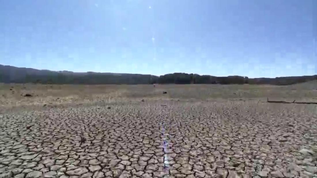
The drought is making this heat worse
An ongoing drought continues to plague the Southwest. And one of the many drawbacks of drought -- and dry soil -- is its impact on temperatures.
When there is no moisture in the soil or in plants, there is no evaporation or evapotranspiration, both of which are cooling processes that add moisture to the air and stabilize the air temperature.
"Basically, the drier the air, the easier it is to get to a high temperature," Bryan Jackson of the Weather Prediction Center told CNN Weather. "When there's more humidity, the temperature can be suppressed."