Earlier today - i noticed MGX's drill map image
revealed the rolling terrain land.
I questioned, what if ?
What if the 3 geologies are throughout GC claims and are
associated to the numerous rolling folds seen in mgx's image below ?
Only overlays i've added are...
- blue dotted lines showing rolling folds
- yellow dotted circle proposed drill location
- white arc - potential connective to larger blue fold
- white dotted line rolling fold
( match with mgx's 2 dotted black lines )
i'm guessing my own white line fold - could be the area
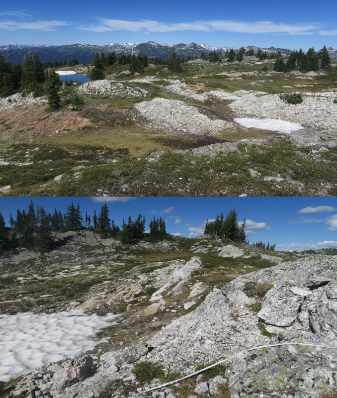
where the measuring tape was seen in photo...?
total of 3 folds ( 2 pegs + 1 grey fold outcrop ).
MGX's 2 black lines are labelled - faults.
Diff geologies does support this...
Yet, the rolling folds enter into the pegmatite zone
which suggests the peg's are apart of the outter rolling folds.
Here.... have a look,
compare grey image with actual photo.
I'll position the image and photo close together so
one can compare.

 Former post correction
 - Vanta ( xrf )
- distant grey outcrop approx 70m ( yellow oval former post )